 |
 |
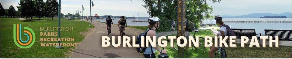
 Home
HomeWelcome to the Burlington Bike Path Website!
The City is currently working on enhancing the Burlington Bike Path through a multi-phase rehabilitation project. For more information please refer to this website frequently and check out the Burlington Parks, Recreation & Waterfront and .
Bike Path Rehabilitation Project
Overview
 |
 Bike Path Location Map (Adobe PDF) |
 |
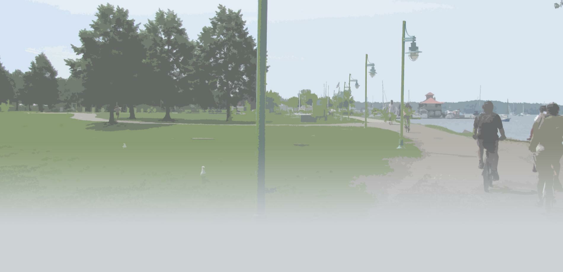
The Bike Path Rehabilitation Project proposes the rehabilitation of the approximate 8 mile multi-use path that runs through downtown Burlington and along the Lake Champlain waterfront. The project limits extend throughout the entire City of Burlington beginning with the southern terminus of the project at the path intersection with Queen City Park Road and extending northerly to the Winooski River Bridge. This project will be a phased effort with full preliminary design beginning for the entire length of the path in July of 2013. Phase 1 of the project will consist of Phase 1a, encompassing the length of the path from Perkins Pier to Penny Lane, and Phase 1b, encompassing the length of the path from Penny Lane to North Beach.
Construction on Phase 1a was completed during the summer of 2015. The design of Phase 1b work is currently scheduled to be completed during winter 2015-2016, with construction beginning in 2016. For additional details regarding the Rehabilitation Project please see the Project Overview Presentation (![]() 2.3MB).
2.3MB).
|
 |
|
Project Objective
The objective of this project is to rehabilitate the Burlington Bike Path to update it to current multi-use path standards to serve its ever increasing use, to increase resiliency, and to ensure it withstands the test of time to continue serving Burlington residents and visitors.
Project Updates
Phase 1b Soil Sampling NEW!
As work continues on the Burlington Bike Path Rehabilitation, the City is preparing to collect soil samples for Phase 1b rehab within Waterfront Park (near Penny Lane) and along the east side of the path beginning at the north end of Urban Reserve up to North Beach Campground. There are 26 sampling locations which have been demarcated by wooden stakes at the project site. On Monday and Tuesday, January 11th and 12th, the drilling crew will be on-site taking samples in order to characterize the soil for future reuse or disposal. The path will remain open to the public for use during this time, though crews may need to narrow their work zones to a single lane at times using orange traffic cones. Please be aware of this work and use extra caution in these areas while you enjoy the Bike Path next week!
Soils Management Update
Work begins today on the removal & disposal of the Leddy park soil stockpile. Our contractor will be staging for work starting today Friday, December 11, 2015. Contractors will be installing fencing and mobilizing equipment in preparation for loading and hauling of the material beginning next week Tuesday, December 15, 2015. The project is expected to last into the first part of January 2016. For more information and BPR W's extensive soil management plan can be found at BTVbikepath.com. BPRW has worked extensively with our contractor, our soils consultant and the Vermont Department of environmental conservation, with direction from the Mayor’s office and City Council, to complete this project in the most cost-effective, efficient and safe manner possible.
![]() Enpro Soil Management Plan Package (Adobe PDF, 2.25 MB)
Enpro Soil Management Plan Package (Adobe PDF, 2.25 MB)
Final Technical Narrative of September 2015 Alden Waterfront Soil
and Groundwater Assessment
In advance of the Leddy Soil Stock Pile public meeting on Thursday, November 12 at 6-7:30 PM in the Leddy Arena Meeting Room, we have posted the final Technical Narrative of September 2015 Alden Waterfront Soil and Groundwater Assessment for public review.
![]() Technical Narrative of September 2015 Alden Waterfront Soil and Groundwater Assessment - November 4, 2015 (Adobe PDF, 11 MB)
Technical Narrative of September 2015 Alden Waterfront Soil and Groundwater Assessment - November 4, 2015 (Adobe PDF, 11 MB)
The Johnson Company (JCO) is pleased to provide the following Technical Narrative which summarizes our September 2015 assessment of soil and groundwater associated with the Alden Waterfront parcel in Burlington (the Site). In the interest of expediting the presentation of results, this Technical Narrative was prepared at the request of the Environmental Protection Agency (EPA) to present the assessment data so that the future jurisdiction (EPA or DEC) of the stockpiled and in-situ soils may be determined. JCO understands that the City of Burlington intends to host an informative meeting with the public to present the data and its implications, discuss the possible disposal and/or reuse option(s), and receive input from the community. Following this meeting the City of Burlington intends to issue a memorandum that will summarize the conclusions of this recent assessment, present the management alternatives considered, and finally present the preferred management option and timeline to be implemented as it relates to the soils currently stockpiled. The City of Burlington remains ahead of schedule in terms of the timeline agreed upon by DEC and the City to have a final determination made regarding the management of these soils by the December 15, 2015 deadline.
View the Previous Project Updates for more project information »
General Project Updates
![]() Bike Path Phase 1b Landscaping Plans - December 29, 2015 (Adobe PDF, 1.3 MB) NEW!
Bike Path Phase 1b Landscaping Plans - December 29, 2015 (Adobe PDF, 1.3 MB) NEW!
![]() Phase 1a Site Photographs - July 31, 2015 (Adobe PDF, 4.2 MB)
Phase 1a Site Photographs - July 31, 2015 (Adobe PDF, 4.2 MB)
![]() Community Update on Bike Path Temporary Stockpiled Soils at Leddy Park - July 17, 2015
Community Update on Bike Path Temporary Stockpiled Soils at Leddy Park - July 17, 2015
(Adobe PDF, 0.3 MB)
![]() Revised Waterfront Park and Phase 1a Soils Management Plan - July 13, 2015
Revised Waterfront Park and Phase 1a Soils Management Plan - July 13, 2015
(Adobe PDF, 9.4 MB)
![]() Community Update on Stockpile Soils at Leddy Park - July 06, 2015 (Adobe PDF, 0.2 MB)
Community Update on Stockpile Soils at Leddy Park - July 06, 2015 (Adobe PDF, 0.2 MB)
![]() Bike Path Update - June 28, 2015 (Adobe PDF, 0.2 MB)
Bike Path Update - June 28, 2015 (Adobe PDF, 0.2 MB)
![]() Council Memo on City Project Soils - May 20, 2015 (Adobe PDF, 0.1 MB)
Council Memo on City Project Soils - May 20, 2015 (Adobe PDF, 0.1 MB)
Updates Archive
Documents
![]() Pause Place Draft Concepts – April 23, 2014 (Adobe PDF, 20 MB)
Pause Place Draft Concepts – April 23, 2014 (Adobe PDF, 20 MB)
![]() Phase 1b Public Informational Meeting Presentation – March 10, 2015 (Adobe PDF, 6.1 MB)
Phase 1b Public Informational Meeting Presentation – March 10, 2015 (Adobe PDF, 6.1 MB)
![]() Phase 1b Public Informational Meeting Notes – March 10, 2015 (Adobe PDF, 0.2 MB)
Phase 1b Public Informational Meeting Notes – March 10, 2015 (Adobe PDF, 0.2 MB)
![]() Final Design Public Informational Meeting Presentation – May 13, 2014 (Adobe PDF, 5 MB)
Final Design Public Informational Meeting Presentation – May 13, 2014 (Adobe PDF, 5 MB)
![]() Final Design Public Informational Meeting Notes – May 13, 2014 (Adobe PDF, 1 MB)
Final Design Public Informational Meeting Notes – May 13, 2014 (Adobe PDF, 1 MB)
![]() Preliminary Design Public Informational Meeting Notes – January 14, 2014 (Adobe PDF, 0.8 MB)
Preliminary Design Public Informational Meeting Notes – January 14, 2014 (Adobe PDF, 0.8 MB)
![]() Conceptual Improvements Public Meeting - Presentation (Adobe PDF, 29.5 MB)
Conceptual Improvements Public Meeting - Presentation (Adobe PDF, 29.5 MB)
![]() Conceptual Improvements Public Meeting – Notes (Adobe PDF, 0.7 MB)
Conceptual Improvements Public Meeting – Notes (Adobe PDF, 0.7 MB)
![]() Bike Path Rehabilitation - Location Map (Adobe PDF, 0.5 MB)
Bike Path Rehabilitation - Location Map (Adobe PDF, 0.5 MB)
Comment/Contact Us
. Please make sure to click on the appropriate project in order for us to most effectively log your comment.