 |
 |
 Home
HomePrevious Project Updates
Phase 1a Construction Update
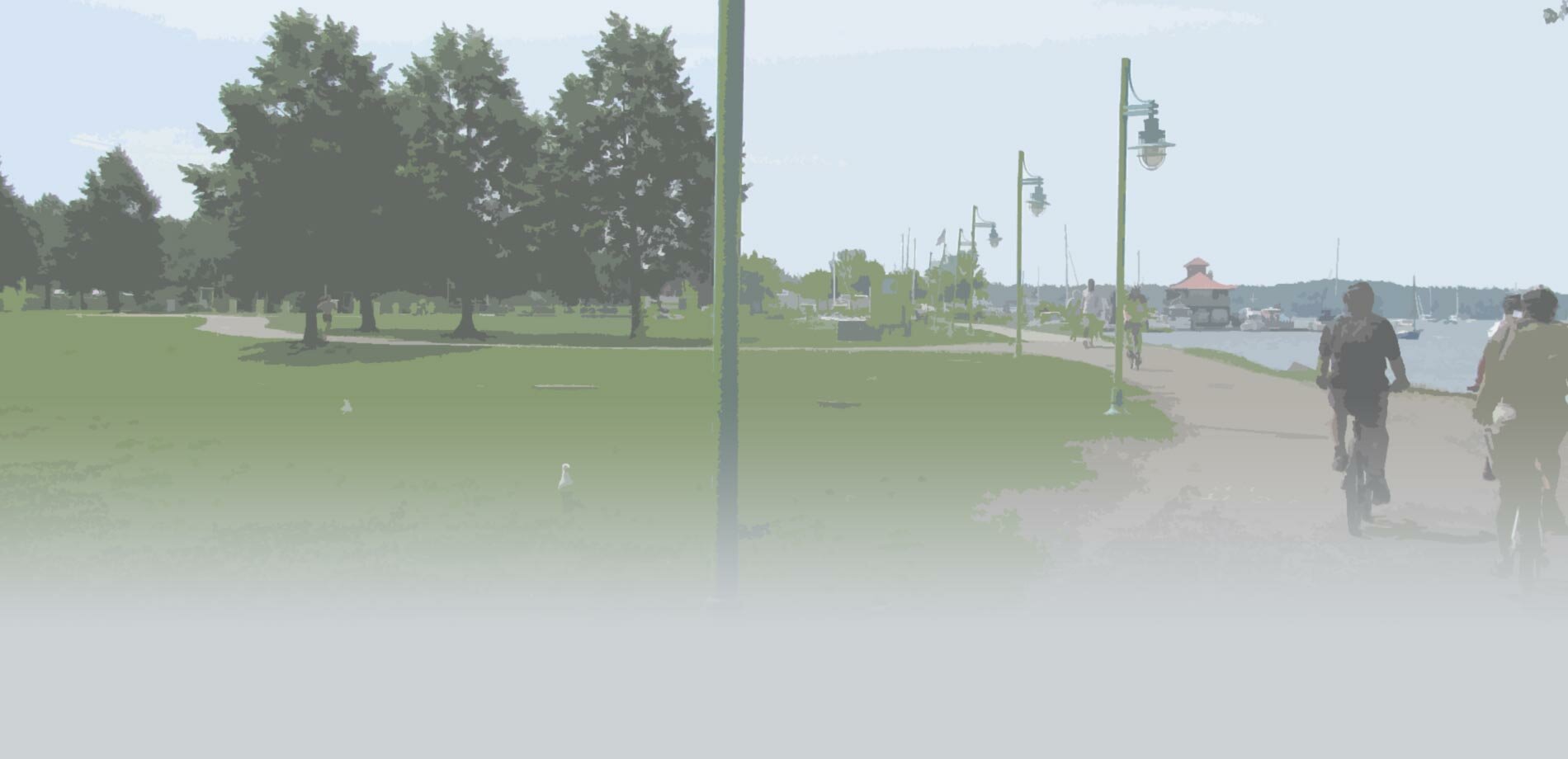
Bike Path construction will continue this week from Perkins Pier to College Street. The work includes application of Ride-A-Way paint to delineate the path from surrounding surfaces and will require temporary closures of the path in two locations. The path will be closed from College Street to King Street with detours to Battery Street, and south of Maple Street along Railway Lane with detours through Perkins Pier Park. These detours will be in effect during daytime and nighttime hours while the paint is drying. Weather depending, work is scheduled to start at 7:00 AM on Wednesday, June 17th and completed by the end of Thursday, June 18th. The bike path will remain open through Waterfront Park. Additional updates will be provided once work is underway.
Phase 1a Spring Construction Update
Completion of Phase 1a Bike Path Rehabilitation work will begin on Monday, April 20th and take place for several weeks from Perkins Pier to Penny Lane. Signed, short term detours for intermittent closures will be in place during this time. Please observe these detours and use caution while enjoying the ride.
Preliminary Plans Update
The City and VHB are currently working on Preliminary (60%) Plans for the Phase 1b design of the Bike Path Rehabilitation project from the Urban Reserve to Texaco Beach. The biggest focus of this design work will be there path’s realignment through the Urban Reserve, pause places in the area, and measures to be taken to provide improved protection for Lake Champlain’s shoreline along the path. Construction of these proposed improvements is tentatively scheduled to begin during the 2015 construction season.
Bike Path Rehabilitation & King Street Cottonwood
There has been much community dialogue related to the removal of the large cottonwood tree located at King Street in relation to the Bike Path Rehabilitation project. As per final design plans, this fall the cottonwood must be removed in order to safely & sustainably rebuild the path. Unfortunately there are many spatial constrictions in this high-use section of the path. Below is a list of facts and considerations that have been taken into account with respect to the removal of this particular tree. Read BPRW Director Jesse Bridges full response.
- Compromised tree in an urban environment
-
- Cottonwoods are a fast growing, weak-wooded species with shallow, aggressive root systems that are highly susceptible to failure from high winds and snow load.
- While beautiful, this particular cottonwood has a compromised, three-stem structure and that has already sustained substantial storm damage and is an isolated tree in a high-wind area.
- The bike path from Maple to College presents safety challenges that require users to navigate multiple intersections crossings and railroad tracks within a short distance.
-
- Set between the Railroad right-of-way and a private parcels, there are limited options for modifying path alignment.
- It is the City’s responsibility to ensure that path rehabilitation makes this area as safe as possible for all users.
- Burlington Parks, Recreation & Waterfront is the steward of more than 10,000 trees in the city
-
- BTV’s 43% canopy coverage exceeds the national average and is rapidly headed towards the goal of 50%.
- Annually, twice as many trees (or more) are planted than removed.
- Extensive measures have been taken to protect ALL trees proximate to the bike path. While an incredibly difficult decision, the City Arborist, PRW staff and engineering team agree that removal of this cottonwood is the best solution to ensure public safety and longevity of the path.
- The project and its details have been the subject of 4 public meetings beginning in October 2013, and plans that show the removal of the tree have been publicly available online (BTVbikepath.com), through hard copies of plan sets at Pine Street, and presented publically since January of 2014.
-
- These plans have been reviewed and approved by the Parks, Recreation & Waterfront Commission, Conservation Board, Development Review Board, Parks, Art & Culture Committee and others.
- The Mayor’s Office, BPRW Commissioner/Chair Nancy Kaplan, Parks Commissioner, Parks Foundation member and former Bike Path Task Force Chair John Bossange and have all offered their opinion in support of removal of the tree.
- The new path, accessible to all, will last for decades, serving & supporting the ever-growing numbers of users and future generations.
Public Bid Opening and Analysis, August 18, 2014
» The bids for construction of the “Burlington Bike Path Rehabilitation, Phase 1a” project were read aloud at a public Bid Opening on Monday August 18th, 2014 at the Parks, Recreation & Waterfront Office on Pine Street. A Bid Analysis has been completed and the recommendation to award the low bidding contractor is being reviewed by the City Council and Board of Finance for approval.
Some Path Closures During Construction
» Construction will result in closures of the path over certain periods of time. The City understands that public outreach is essential during this time and will be utilizing many different media platforms to create awareness of any closures and detours. Standard traffic control signage will be used in the field and this website, email blasts, and Facebook posts will all include more detailed information as it becomes available. Also, please feel free to submit any questions or comments through this website via the link at the bottom of this page and the "Get Involved" tab to the left.
Phase 1a Contract Plans Submitted
» VHB submitted Contract (100%) Plans for the “Burlington Bike Path Rehabilitation, Phase 1a” project on July 25th, 2014. Over the following weeks, the Contract Plans were reviewed and two addendums were made to the plan set. The final Contract (100%) Plans can be viewed at the following link: Burlington Bike Path Rehabilitation, Phase 1a Contract Plans (Adobe PDF, 8.0MB).
Phase 1a Final Plans Submitted
» VHB submitted Final (85%) Plans for the “Burlington Bike Path Rehabilitation, Phase 1a” project on June 27th, 2014. Since that date, the City reviewed and commented on these plans and the necessary design adjustments were made leading up to the Contract (100%) Plans submission. The Final (85%) Plans can be view at the following link: Burlington Bike Path Rehabilitation, Phase 1a Final Plans (Adobe PDF, 6.7MB).
Conceptual Rehabilitation Plans Submitted
» VHB submitted Conceptual (25%) Plans for the Rehabilitation of the Burlington Bike Path (Adobe PDF, 23.0MB) to the City of Burlington on January 10th, 2014. Since this date, the City reviewed and commented on these plans, and VHB developed a "Response to Comments" document (Adobe PDF, 0.1MB) which outlines each comment that was made as well as the corresponding responses and actions that will be made for subsequent plan submissions. In addition, the Department of Parks & Recreation presented the 25% Bike Path design to the Parks & Recreation Commission in January to gather input and public comment.
Painted Mile Marker Questions
» The City of Burlington painted mile markers on the bike path and we've been receiving a couple questions on why they are located differently than they used to be. There is a section of the Burlington bike path which is located at the southern end of the project that runs from Queen City Park Road to Home Avenue and then follows the road down to Austin Drive where the 0.0 mile marker used to be located. Previous studies did not include this section of the bike path in their projects, however, this piece of the path is within Burlington City limits and is a part of the Island Line Trail network. The City determined that this piece of the path should be included in the rehabilitation project and therefore the City marked mile locations accordingly beginning at 0.0 at Queen City Park Road. Please see the project location map above for more detail.

New Informational Signage
» The City and VHB have developed an informational sign which has been mounted in various locations along the bike path. The sign offers an overview of the project area and emphasizes that there will be field work occurring throughout the next year. It also requests that everyone please be aware of your surroundings and courteous to workers and other path users during this time.
Test Pit Locations Sited
» VHB, the project design engineer, has been moving forward with field efforts along the bike path. They recently marked 45 locations which are proposed for digging 18”x18”x30” deep test pits in order to sample the existing cross section of the path. The map below shows these approximate locations and each site is labeled in the field with a painted “VHB #” as seen in the photo below. These samples will lead to an in depth analysis of existing ground and allow appropriate design recommendations to be prepared for the bike path reconstruction. Actual digging in these locations will take place within the next few weeks but specific days have not yet been identified. More detailed information will follow as it's developed about this field work.
![]() Test Pit Locations (Adobe PDF, 3.0 MB)
Test Pit Locations (Adobe PDF, 3.0 MB)
» Please reference the Bi-Weekly Project Updates for more in depth information about what’s going on with the rehabilitation project.