 |
 |
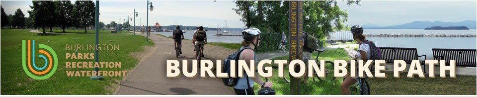
 Home
HomeTour the Bike Path
Take a tour of the proposed Burlington Bike Path rehabilitation improvements! The following Google Earth file (.kmz) is a graphical representation of the proposed work for the Burlington Bike Path Rehabilitation Project. To view this file please be sure you have Google Earth installed on your computer ().
![]() Please click on the following link to download the .kmz: Burlington Bike Path Rehabilitation Project Graphic
Please click on the following link to download the .kmz: Burlington Bike Path Rehabilitation Project Graphic
Brief description of graphic features:
- Zoom in to popular locations by double clicking on any of their names (eg. Oakledge Park, Waterfront Park, etc.) in the Navigation Pane on the left side of the screen.
- Expand "Levels" to turn on or off various features:
- Bike Path Improvements – These are the improvements for the project including path reconstruction, widening, realignment, paint markings, new/relocated fence, new green space, and other features.
- The path will be widened to an 11' paved width with a 2' aggregate shoulder on each side where possible. The path will also include centerline striping and appropriate pavement markings as shown.
- A green surface will be used at roadway crossings and other paved locations to enhance path delineation.
- Other green areas shown in the graphic are newly proposed grass areas and in the case of Waterfront Park, grass permeable pavers are being proposed along the path through the event grounds.
- Blue and red lines on either side of the path signifies fence/railing work which varies between replacement and relocation.
- Proposed Pause Places/Amenities – These levels represent proposed pause places and various amenities along the path. Pause places are in early design stages and are being shown at a conceptual level. Additional details and amenities will be added further along in the project development.
- Shoreline Armoring – These blue shaded areas along Lake Champlain signify shoreline locations which will require further evaluation of protective measures.
- Surface Removal – These red hatched areas represent locations for the potential removal of paved or concrete surfaces in the future.
- Bike Path Improvements – These are the improvements for the project including path reconstruction, widening, realignment, paint markings, new/relocated fence, new green space, and other features.
Comment/Contact Us
. Please make sure to click on the appropriate project in order for us to most effectively log your comment.