 |
 |
 Home
HomeFrequently Asked Questions
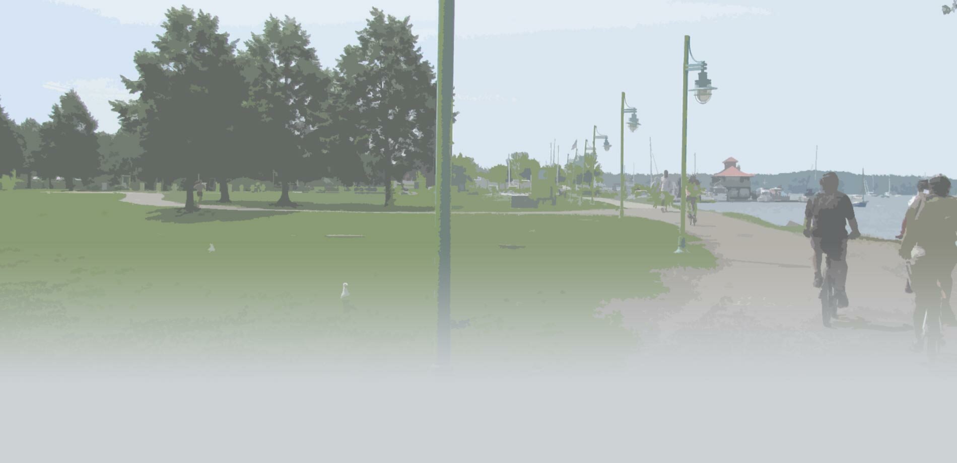
Q: What is the proposed standard path section and how will it support walkers and runners (particularly traveling two across), bikers and other users?
A: The proposed path standard will be a total of 15 feet wide to include an 11' paved path with a 2' aggregate surface shoulders on each side. The 2010 AASHTO Guide for the Planning, Design, and Operation of Bicycle Facilities recommends an 11' paved width for shared use paths because this allows two bicyclists traveling in opposite directions to pass one another and a pedestrian at the same time. The inclusion of a 2' aggregate shoulder on each side of the path will provide additional width for walkers or runners who prefer a softer surface and will provide additional room for walkers traveling two across and other users to pass as well.
Q: The Bike Path currently has several different names (Burlington Bike Path, Burlington Bike Way...) even though it is a recreational path that serves walkers, runners, bikers, etc. Will the path name be formalized as a part of this process?
A: The City realizes that there have been questions about the naming of the path and although formalizing the name will not be a part of this project, the City will be undertaking a separate effort for the wayfinding, signage, and branding of the path which will begin in the fall of 2014. This will include a full public input process and formalizing the path name will be a piece of this effort to ensure it is appropriately and consistently named.
Q: Can larger, full-sized stop signs be used on the bike path?
A: The Manual of Uniform Traffic Control Devices (MUTCD) is approved by the Federal Highway Administrator as the National Standard for all traffic control devices (signs, markings, signals) on any street, highway, bikeway or private road open to public travel. Although larger signs can be used, the MUTCD recommends use of 18" x 18" STOP signs at shared-use path/roadway crossings. Given the lower speeds of bicyclists and sight distances approaching the crossing, the 18" x 18" signs, along with the STOP bar markings, are appropriate for the existing conditions and comply with the National Standard. The City also conducted a review of all roadway crossings along the path including sight distances on both the path and roadway approaches. The review found that the visibility of the STOP signs at the path crossings is not a contributing factor in the behavior of bicyclists on the path. Additionally, increasing the sign size requires the signs be set back a greater distance back from the edge of the path to provide the minimal clearance for passing cyclists. The increased setback places the signs further to the edge of the bicyclists range of vision at a time when their focus is directed in many different directions. The City will continue to utilize MUTCD's recommendation for 18" x 18" STOP signs in the Bike Path Rehabilitation design.
Q: Could you please elaborate on when construction will be taking place along the path, and if it will be closed during these dates?
A: Construction along the Burlington Bike Path is currently scheduled to begin in October of this year, 2014, and will be occurring in varying locations between Perkins Pier and North Beach throughout the fall and into the 2015 construction season. The length of path from Perkins Pier through Waterfront Park is expected to be completed this year, with construction shutting down through the winter months and resuming next spring on the sections through the Urban Reserve to North Beach. During construction, appropriate detours will be installed and/or signed so that there is a clear, useable route for all path users during all of the construction phases. Updated information on detour status will eventually be included on this website and will also be posted on the .
Q: Will a yellow centerline be painted along the bike path for the Rehabilitation Project?
A: Yes, a yellow centerline is part of the design for the Rehabilitation Project. The centerline will be striped similar to that of a roadway where some locations will be dashed and some will be a solid line based on sight distance, ability to pass other users, and other factors. Along with the painted centerline, "Keep Right", "Stop Ahead", and other appropriate pavement markings will be painted on the path to improve user interaction and path safety.
Q: I see that the bike path route follows Home Avenue, Austin Drive, and Harrison Avenue in certain areas. Will new shared-use path facilities be added next to these roads?
A: A new shared-use path will not be added in these locations. Proposed improvements for these areas will include on-road facilities only and potential enhancements to existing pedestrian facilities. It is likely that new signage, wayfinding, and paint markings will be recommended along these existing routes but details of the improvements have yet to be determined.
Q: I've noticed that new mile markers have been painted on the bike path and they are about a mile different than the previous markings. Can you explain why that is?
A: There is a section of the Burlington bike path which is located at the southern end of the project that runs from Queen City Park Road to Home Avenue and then follows the road down to Austin Drive where the 0.0 mile marker used to be located. Previous studies did not include this section of the bike path in their projects, however, this piece of the path is within Burlington City limits and is a part of the Island Line Trail network. The City determined that this piece of the path should be included in the rehabilitation project and therefore the City marked mile locations accordingly beginning at 0.0 at Queen City Park Road. Please see the project location map (![]() 0.5MB) for more detail.
0.5MB) for more detail.
Q: There are spray paint markings with "VHB" and numbers inside a box at various locations along the bike path. What do these indicate?
A: VHB marked 45 locations which are proposed for digging 18"x18"x30" deep test pits in order to sample the existing cross section of the path. The test pit location map (![]() 3.0MB) shows these approximate locations and each site is labeled in the field with a painted "VHB #". These samples will lead to an in depth analysis of existing ground and allow appropriate design recommendations to be prepared for the bike path reconstruction. Actual digging in these locations have occurred from Perkins Pier to North Beach and others may take place at a future date.
3.0MB) shows these approximate locations and each site is labeled in the field with a painted "VHB #". These samples will lead to an in depth analysis of existing ground and allow appropriate design recommendations to be prepared for the bike path reconstruction. Actual digging in these locations have occurred from Perkins Pier to North Beach and others may take place at a future date.